The city of Helsinki is home to quite a big number of trees. Trees are interesting living organisms, and their sheer existence makes your life better in so many ways. This is how I personally feel anyway.
Thanks to the newly opened Urban tree database of the City of Helsinki we can now look at trees’ whereabouts also digitally. Note that the database is not exhaustive, error-free, nor regularly updated. The coverage is better on trees growing along streets, less so on trees within parks, which I find understandable.
To start with, let’s take a sample of 5000 (10%) and plot them as points on top of the Helsinki district map.
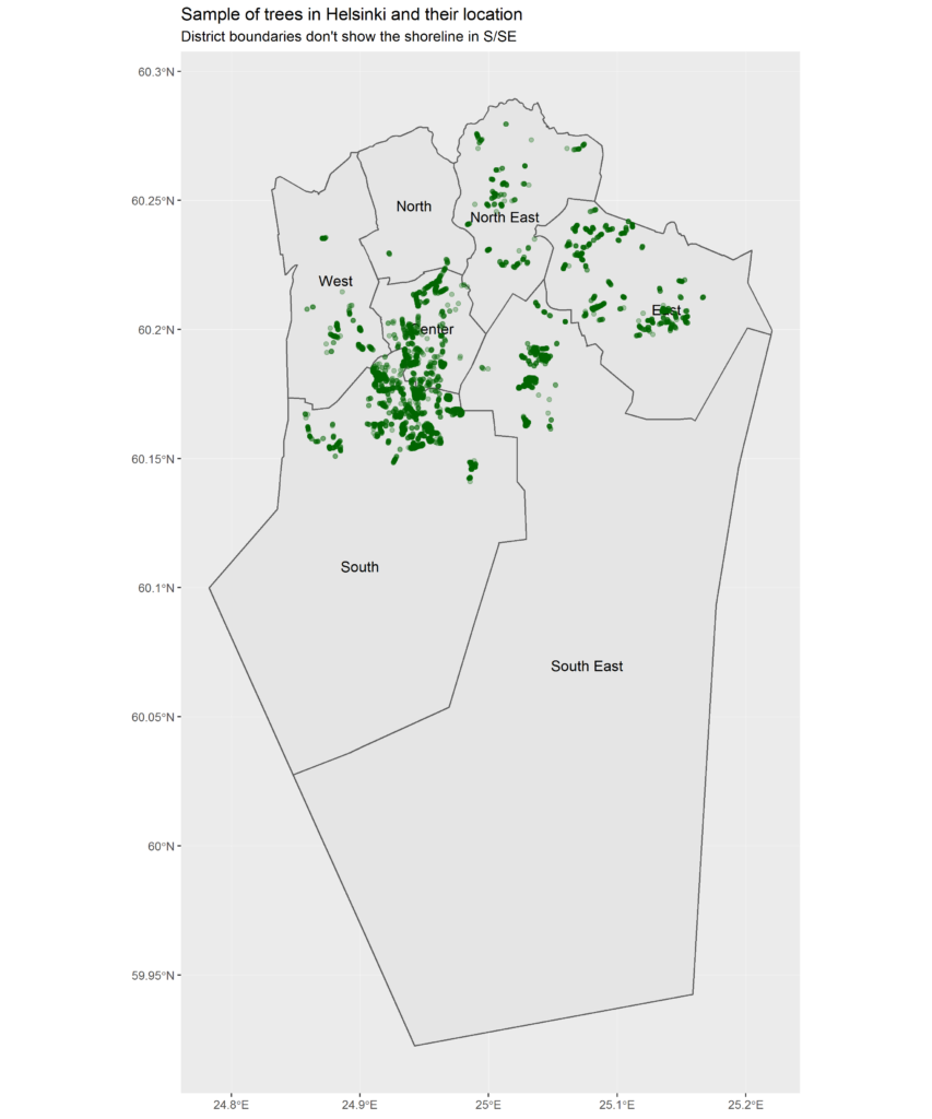
Here we can start to get a general understanding of where Helsinki is as its greenest at street level. The southernmost green points fall on the island of Suomenlinna so imagine that you see the shoreline somewhere above those.
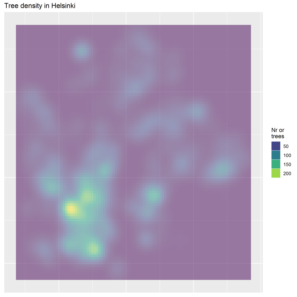
Where are the tree hotspots? A density map reveals that they are not far from the city centre; around Töölö bay and Hietaniemi cemetery, and in Kaivopuisto by the sea.
I was surprised by the number of different tree families, 115! Yet, the top 8 families are far more common than the rest: linden (Tilia), maple (Acer), birch (Betula), elm (Ulmus), rowan (Sorbus), oak (Quercus), pine (Pinia), and alder (Alnus).
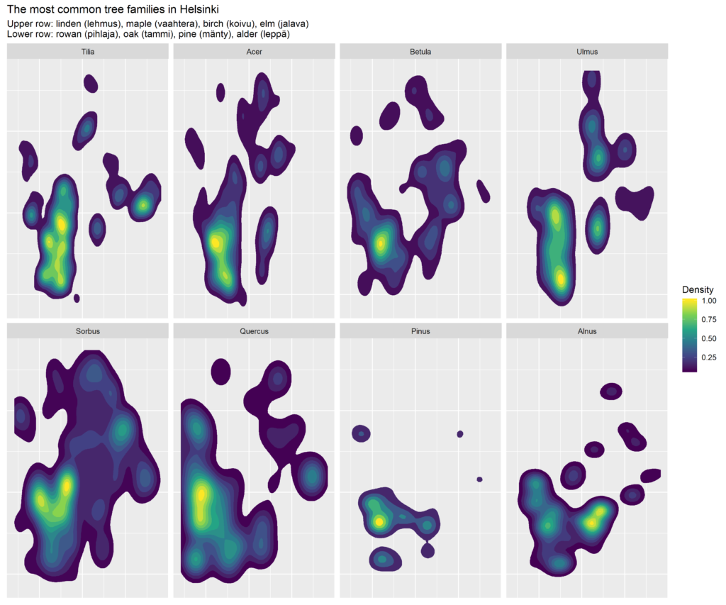
Rowan trees are the most widespread ones whereas pines are very concentrated to SW.
How about the age of the trees? Data does not tell about the age very much at all, but a good proxy is the size.
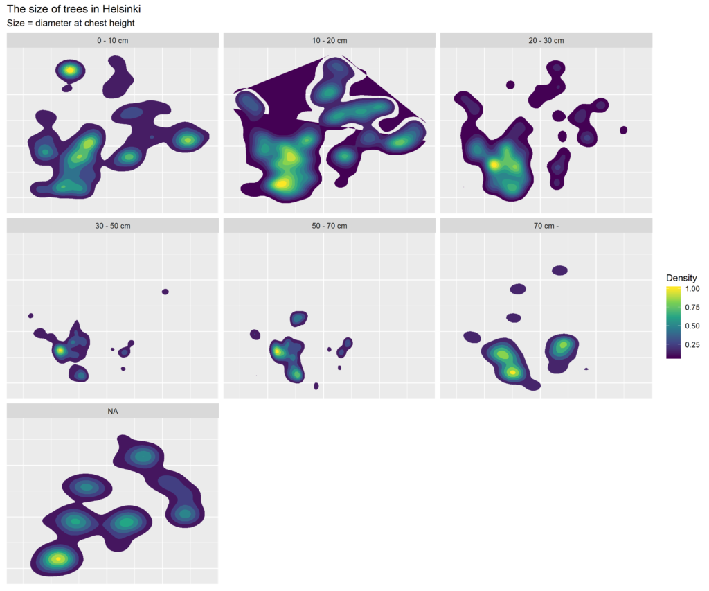
Smallish trees seem to the most widespread. Their density is relatively high especially in the city centre which sort of sounds right; in recent years, Helsinki has been quite busy in rejuvenating its tree population. Note that only about 3% of the trees are missing the size info, i.e. the size is given as a NA.
While at it, I also checked which tree grows closest to where I live, and which one the most far.
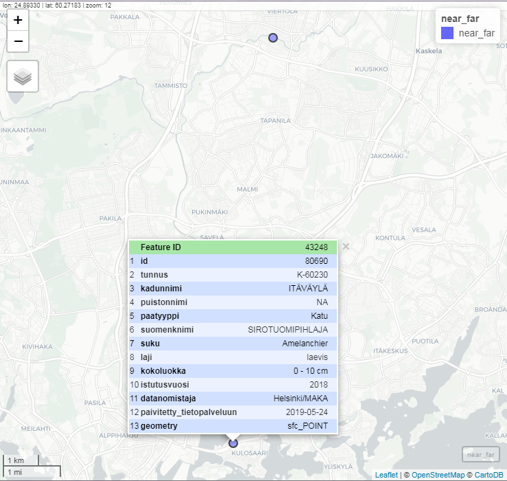
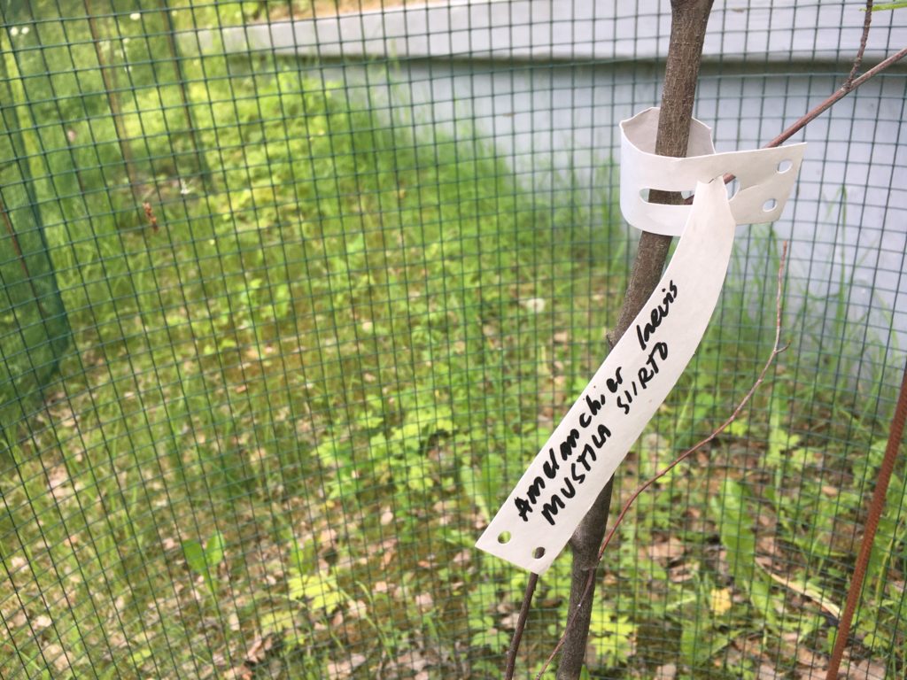
Turns out that the nearest one is 150 m from my home door, on the bank of the Itäväylä highway. An Amelanchier laevis, planted last year.
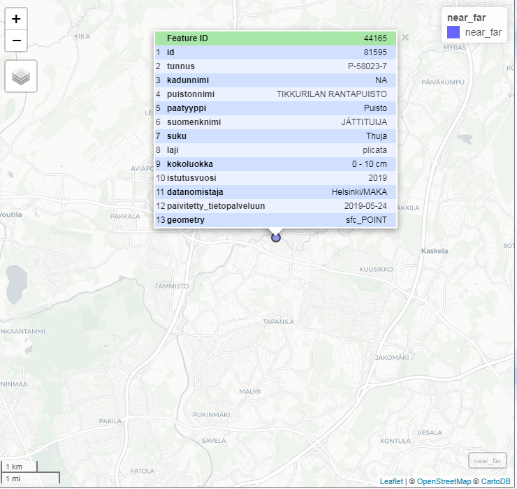
The most remote one on the other hand was planted earlier this year on the southern shore of the Kerava River, 11 km to the North from here. The family? Thuja, my namesake 
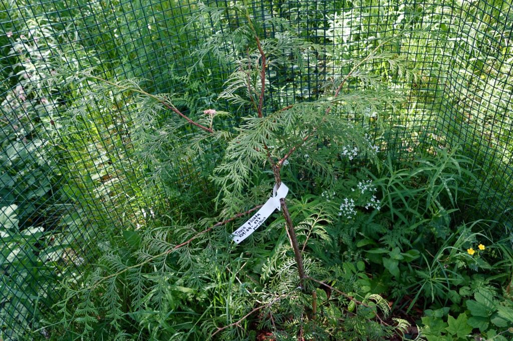
These Thujas can become tall if all goes well. The Finnish name Jättituija (“giant Tuija”) reflects this fact. In North America where the species is native, its wood has been frequently used in e.g. Haida totem poles, few of which I only this week had the chance to see in British Museum, London.
With almost 50K items in the dataset, there is really no easy and practical way to show information from every tree at the same time. Instead, I decided to combine data with another open dataset from Helsinki, Valuable environments in the public areas of the city of Helsinki. This interactive web app shows, which trees are located inside these areas. The bigger the tree (diameter on the chest level), the bigger the circle that points to its location. Be aware that all text in tooltips and pop-up boxes is in Finnish.
R code is available here.